Mapping, monitoring, and characterization of natural, agricultural, and forested spaces
CONTEXT
Natural, agricultural, and forested
spaces for territorial sustainability
Natural, agricultural, and forested spaces are key elements for territories and fulfill numerous economic, social, and environmental functions.
Excellent levers for territorial resilience against climate change, they serve as ecological corridors within the green and blue infrastructure and constitute important refuges for biodiversity. These spaces provide numerous ecosystem services and represent a significant carbon sink.
However, in the context of increasing urbanization, pressure on Natural, agricultural, and forested spaces intensifies while the challenge of preserving these spaces is crucial: ensuring the sustainable development of agriculture, forestry, and territories. Thus, within the framework of new regulations on land sealing, changes in land use at the expense of natural, agricultural, or forested spaces must be monitored on a large scale and limited as much as possible.


OUR SOLUTION
Landia, a tool for monitoring and
characterizing this areas
TerraNIS provides municipalities with an operational tool for monitoring and characterizing natural, agricultural, and forested spaces using Earth observation images and land use data:
- Extraction and characterization of hedge surfaces in a territory from very high-resolution satellite or aerial images
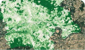
- Mapping of green and blue infrastructure, agricultural, and forested areas, and creation of customized indicators
- Mapping and characterization of agricultural areas, identification of permanent pastures, and organic farming parcels
Interested in testing Landia in your area? Request a demo to discover how our solution works!
INDICATORS
Some examples of indicators
for your municipality

720ha
TOTAL AREA

28%
PERCENTAGE OF CULTIVATED SURFACES

25%
PERCENTAGE OF PERMANENT PASTURES

75ha
UNDER ORGANIC FARMING

36%
PERCENTAGE OF FORESTED AREA
SERVICES
Discover our other services for
managing your territories
Urban vegetation, heat islands, soil artificialization, agroecological infrastructures: discover all our services for managing your territories!

MONITORING OF URBAN VEGETATION AND
QUALITY OF LIFE OF RESIDENTS

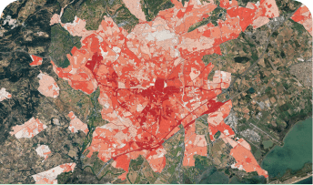
ANALYSIS OF URBAN CLIMATOLOGY AND IDENTIFICATION OF HEAT ISLANDS

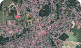
MAPPING, ANALYSIS, AND MONITORING OF LAND SEALING

MAPPING OF FOREST AREAS AND
BURNED AREAS FOLLOWING FIRES
